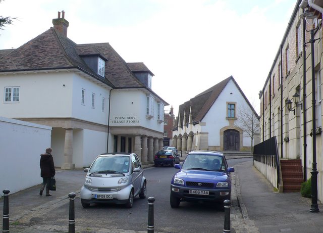
Cambridge Rd Poundbury, Dorchester
Introduction
The photograph on this page of Cambridge Rd Poundbury, Dorchester by Nigel Mykura as part of the Geograph project.
The Geograph project started in 2005 with the aim of publishing, organising and preserving representative images for every square kilometre of Great Britain, Ireland and the Isle of Man.
There are currently over 7.5m images from over 14,400 individuals and you can help contribute to the project by visiting https://www.geograph.org.uk

Image: © Nigel Mykura Taken: 1 Mar 2011
This small bit of road is actually part of Cambridge Rd, a long road in the Victoria Park area of Dorchester but the metal bollards give a physical barrier which prevents vehicular access to Poundbury. All the minor roads between the two areas are closed off like this giving the feeling that someone is being kept out, but it also prevents a new through route being formed. Brownsword Hall (the Poundbury Village hall) can be seen at the top of the street in Pummery Square.

