Kissing gate on Whinless Down
Introduction
The photograph on this page of Kissing gate on Whinless Down by David Anstiss as part of the Geograph project.
The Geograph project started in 2005 with the aim of publishing, organising and preserving representative images for every square kilometre of Great Britain, Ireland and the Isle of Man.

There are currently over 7.5m images from over 14,400 individuals and you can help contribute to the project by visiting https://www.geograph.org.uk
Kissing gate on Whinless Down
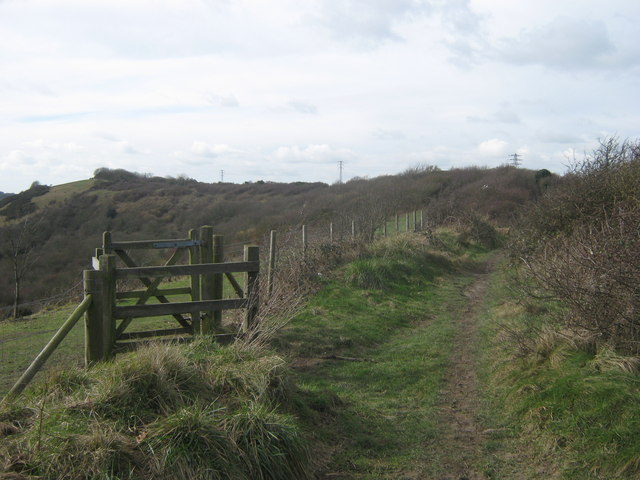
Image: © David Anstiss Taken: 27 Feb 2011
A footpath leads from Noah's Ark Road towards Long Wood, it follows a ridge beside the open access land / nature reserve on the left. The kissing gate is one of many entrances.
Images are licensed for reuse under creativecommons.org/licenses/by-sa/2.0
Image Location
Latitude
51.128435
Longitude
1.280329