St Mary Magdalen, Little Brickhill
Introduction
The photograph on this page of St Mary Magdalen, Little Brickhill by Mr Biz as part of the Geograph project.
The Geograph project started in 2005 with the aim of publishing, organising and preserving representative images for every square kilometre of Great Britain, Ireland and the Isle of Man.

There are currently over 7.5m images from over 14,400 individuals and you can help contribute to the project by visiting https://www.geograph.org.uk
St Mary Magdalen, Little Brickhill
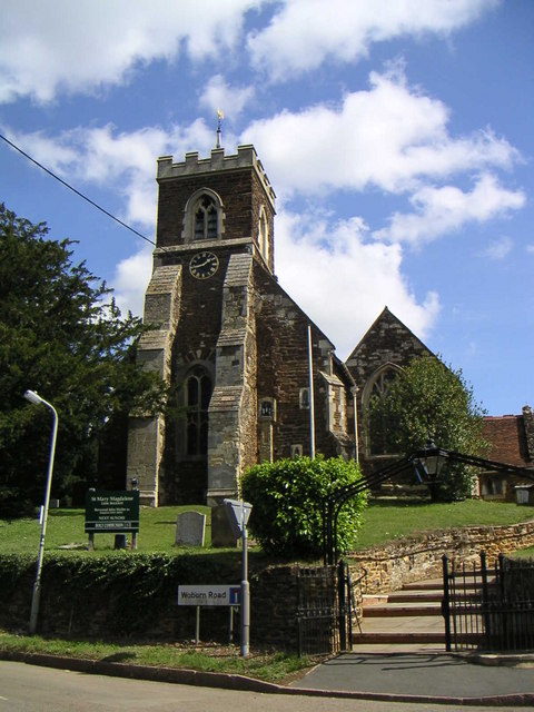
Image: © Mr Biz Taken: 27 Aug 2006
Located at the highest point of the village, St Mary's church is on the corner of the Roman Road "Watling Street" and the old Woburn Road, which was removed as part of the A5 Bypass.
Images are licensed for reuse under creativecommons.org/licenses/by-sa/2.0
Image Location
Latitude
51.982617
Longitude
-0.67638