Track to Pinkhurst
Introduction
The photograph on this page of Track to Pinkhurst by Chris Shaw as part of the Geograph project.
The Geograph project started in 2005 with the aim of publishing, organising and preserving representative images for every square kilometre of Great Britain, Ireland and the Isle of Man.

There are currently over 7.5m images from over 14,400 individuals and you can help contribute to the project by visiting https://www.geograph.org.uk
Track to Pinkhurst
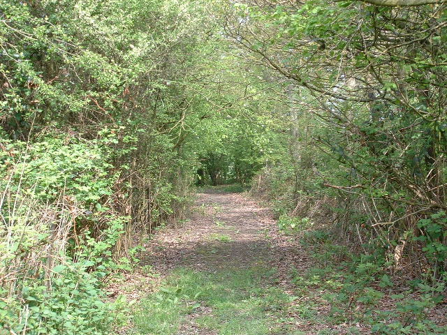
Image: © Chris Shaw Taken: 7 May 2006
Looking towards the junction with the Downs Link long distance path, close to the SE corner of the square.
Images are licensed for reuse under creativecommons.org/licenses/by-sa/2.0
Image Location
Latitude
51.058251
Longitude
-0.390402