Gateway to the Fields
Introduction
The photograph on this page of Gateway to the Fields by Daniel Robinson as part of the Geograph project.
The Geograph project started in 2005 with the aim of publishing, organising and preserving representative images for every square kilometre of Great Britain, Ireland and the Isle of Man.

There are currently over 7.5m images from over 14,400 individuals and you can help contribute to the project by visiting https://www.geograph.org.uk
Gateway to the Fields
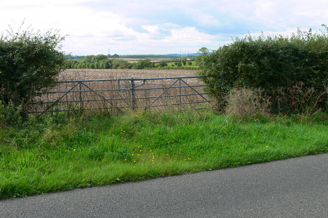
Image: © Daniel Robinson Taken: 30 Aug 2006
This square is all arable farmland with high hedgerows alongside the roads allowing only small glimpses of the open fields.
Images are licensed for reuse under creativecommons.org/licenses/by-sa/2.0
Image Location
Latitude
52.933442
Longitude
-1.006127