Drinking trough, Southampton Way SE5
Introduction
The photograph on this page of Drinking trough, Southampton Way SE5 by Malc McDonald as part of the Geograph project.
The Geograph project started in 2005 with the aim of publishing, organising and preserving representative images for every square kilometre of Great Britain, Ireland and the Isle of Man.

There are currently over 7.5m images from over 14,400 individuals and you can help contribute to the project by visiting https://www.geograph.org.uk
Drinking trough, Southampton Way SE5
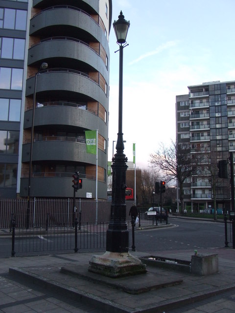
Image: © Malc McDonald Taken: 14 Feb 2011
A traditional drinking trough and street light at the junction of Southampton Way with Peckham Grove. The building immediately behind is a block of apartments completed in 2010. Further away, on the other side of Southampton Way, is a block of council flats.
Images are licensed for reuse under creativecommons.org/licenses/by-sa/2.0
Image Location
Latitude
51.477862
Longitude
-0.080749