Brookland House
Introduction
The photograph on this page of Brookland House by Derek Harper as part of the Geograph project.
The Geograph project started in 2005 with the aim of publishing, organising and preserving representative images for every square kilometre of Great Britain, Ireland and the Isle of Man.

There are currently over 7.5m images from over 14,400 individuals and you can help contribute to the project by visiting https://www.geograph.org.uk
Brookland House
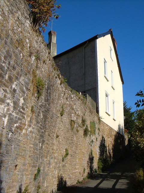
Image: © Derek Harper Taken: 24 Aug 2006
Vertiginously set - or so it seems from this view - above a back road now relegated to a footpath on the northern edge of the town.
Images are licensed for reuse under creativecommons.org/licenses/by-sa/2.0
Image Location
Latitude
50.290403
Longitude
-3.77507