Clos Trefeddyg, Machen
Introduction
The photograph on this page of Clos Trefeddyg, Machen by Jaggery as part of the Geograph project.
The Geograph project started in 2005 with the aim of publishing, organising and preserving representative images for every square kilometre of Great Britain, Ireland and the Isle of Man.

There are currently over 7.5m images from over 14,400 individuals and you can help contribute to the project by visiting https://www.geograph.org.uk
Clos Trefeddyg, Machen
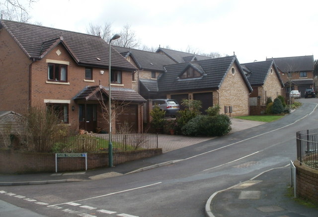
Image: © Jaggery Taken: 26 Feb 2011
Houses, built in 2004, on the east side of Clos Trefeddyg, viewed from Glan yr afon.
Images are licensed for reuse under creativecommons.org/licenses/by-sa/2.0
Image Location
Latitude
51.593373
Longitude
-3.143274