Keyhaven Road Sign
Introduction
The photograph on this page of Keyhaven Road Sign by William Bartlett as part of the Geograph project.
The Geograph project started in 2005 with the aim of publishing, organising and preserving representative images for every square kilometre of Great Britain, Ireland and the Isle of Man.

There are currently over 7.5m images from over 14,400 individuals and you can help contribute to the project by visiting https://www.geograph.org.uk
Keyhaven Road Sign
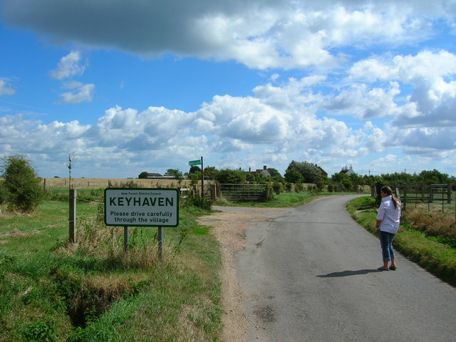
Image: © William Bartlett Taken: 28 Aug 2006
Sign is at the northern road approach to Keyhaven. Behind it can be seen the public footpath sign (to Agarton Lane?)
Images are licensed for reuse under creativecommons.org/licenses/by-sa/2.0
Image Location
Latitude
50.726841
Longitude
-1.573498