Yarcombe: Clifthayne Farm
Introduction
The photograph on this page of Yarcombe: Clifthayne Farm by Martin Bodman as part of the Geograph project.
The Geograph project started in 2005 with the aim of publishing, organising and preserving representative images for every square kilometre of Great Britain, Ireland and the Isle of Man.

There are currently over 7.5m images from over 14,400 individuals and you can help contribute to the project by visiting https://www.geograph.org.uk
Yarcombe: Clifthayne Farm
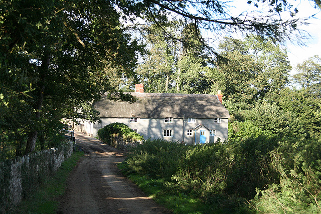
Image: © Martin Bodman Taken: 29 Aug 2006
The farm stands high up above the Yarty valley although just sheltered from the prevailing winds. Looking north east
Images are licensed for reuse under creativecommons.org/licenses/by-sa/2.0
Image Location


Leaflet Map data © OpenStreetMap
Latitude
50.895663
Longitude
-3.067516