The Turmut Hoer, Abbeydale
Introduction
The photograph on this page of The Turmut Hoer, Abbeydale by Philip Halling as part of the Geograph project.
The Geograph project started in 2005 with the aim of publishing, organising and preserving representative images for every square kilometre of Great Britain, Ireland and the Isle of Man.

There are currently over 7.5m images from over 14,400 individuals and you can help contribute to the project by visiting https://www.geograph.org.uk
The Turmut Hoer, Abbeydale
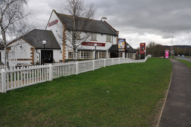
Image: © Philip Halling Taken: 26 Feb 2011
This pub has had a revamp since it was last photographed for Geograph.
Images are licensed for reuse under creativecommons.org/licenses/by-sa/2.0
Image Location
Latitude
51.846211
Longitude
-2.198392