Footpath beside the Hoddnant - Boverton
Introduction
The photograph on this page of Footpath beside the Hoddnant - Boverton by Mick Lobb as part of the Geograph project.
The Geograph project started in 2005 with the aim of publishing, organising and preserving representative images for every square kilometre of Great Britain, Ireland and the Isle of Man.

There are currently over 7.5m images from over 14,400 individuals and you can help contribute to the project by visiting https://www.geograph.org.uk
Footpath beside the Hoddnant - Boverton
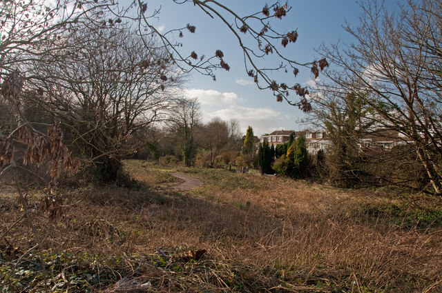
Image: © Mick Lobb Taken: 26 Feb 2011
The footpath follows the river from south of the village to turn northwest away from it to pass the local cemetery. In summer the area of scrub becomes a tangled mass of vegetation. The river is located just below the houses on the right and follows the line of the trees.
Images are licensed for reuse under creativecommons.org/licenses/by-sa/2.0
Image Location
Latitude
51.40508
Longitude
-3.466514