Ebor Way at Flint Mill Grange
Introduction
The photograph on this page of Ebor Way at Flint Mill Grange by Gordon Hatton as part of the Geograph project.
The Geograph project started in 2005 with the aim of publishing, organising and preserving representative images for every square kilometre of Great Britain, Ireland and the Isle of Man.

There are currently over 7.5m images from over 14,400 individuals and you can help contribute to the project by visiting https://www.geograph.org.uk
Ebor Way at Flint Mill Grange
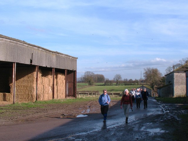
Image: © Gordon Hatton Taken: 24 Feb 2011
Walkers on the Ebor Way pass by barns at Flint Mill Grange between Wetherby and Thorpe Arch.
Images are licensed for reuse under creativecommons.org/licenses/by-sa/2.0
Image Location
Latitude
53.92093
Longitude
-1.357408