Broom of Moy
Introduction
The photograph on this page of Broom of Moy by Anne Burgess as part of the Geograph project.
The Geograph project started in 2005 with the aim of publishing, organising and preserving representative images for every square kilometre of Great Britain, Ireland and the Isle of Man.

There are currently over 7.5m images from over 14,400 individuals and you can help contribute to the project by visiting https://www.geograph.org.uk
Broom of Moy
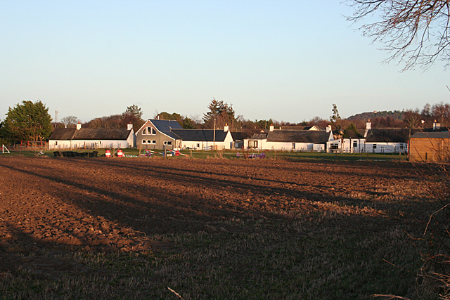
Image: © Anne Burgess Taken: 25 Feb 2011
Broom of Moy is on the left bank of the River Findhorn, beside the last bridge on the river, which is now closed to motor traffic. Its importance waned significantly when the Findhorn Bridge was built just upstream, carrying the main road over the river. This is the approach to the village from the west.
Images are licensed for reuse under creativecommons.org/licenses/by-sa/2.0
Image Location
Latitude
57.612979
Longitude
-3.643669