Manchester Metrolink construction near Pollard Street
Introduction
The photograph on this page of Manchester Metrolink construction near Pollard Street by P L Chadwick as part of the Geograph project.
The Geograph project started in 2005 with the aim of publishing, organising and preserving representative images for every square kilometre of Great Britain, Ireland and the Isle of Man.

There are currently over 7.5m images from over 14,400 individuals and you can help contribute to the project by visiting https://www.geograph.org.uk
Manchester Metrolink construction near Pollard Street
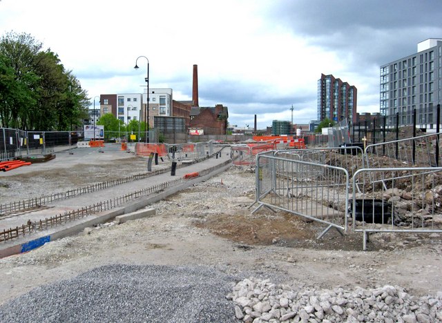
Image: © P L Chadwick Taken: 2 May 2010
A view of the work on the extension from Piccadilly to Droylsden & Ashton-under-Lyne in early May 2010. In this section, the tracks run on private right-of-way before running along the public highway in Merrill Street. Here the concrete bed has been prepared for one of the tracks. Photographed from a temporary pedestrian crossing by Carruthers Street. Image
Images are licensed for reuse under creativecommons.org/licenses/by-sa/2.0
Image Location


Leaflet Map data © OpenStreetMap
Latitude
53.482122
Longitude
-2.217555