Former Railway Bridge
Introduction
The photograph on this page of Former Railway Bridge by Ashley Dace as part of the Geograph project.
The Geograph project started in 2005 with the aim of publishing, organising and preserving representative images for every square kilometre of Great Britain, Ireland and the Isle of Man.

There are currently over 7.5m images from over 14,400 individuals and you can help contribute to the project by visiting https://www.geograph.org.uk
Former Railway Bridge
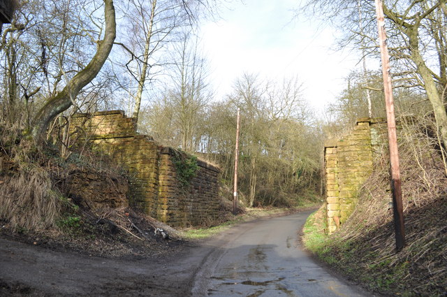
Image: © Ashley Dace Taken: 24 Feb 2011
The deck has been removed from this one, and this is good preservation for this stretch of line, the others are now a pile of overgrown bricks. Left to a car park near Ault Hucknall and right for Pleasley. Image]
Images are licensed for reuse under creativecommons.org/licenses/by-sa/2.0
Image Location
Latitude
53.169137
Longitude
-1.265023