Footpath VC6, Higham Ferrers
Introduction
The photograph on this page of Footpath VC6, Higham Ferrers by Will Lovell as part of the Geograph project.
The Geograph project started in 2005 with the aim of publishing, organising and preserving representative images for every square kilometre of Great Britain, Ireland and the Isle of Man.

There are currently over 7.5m images from over 14,400 individuals and you can help contribute to the project by visiting https://www.geograph.org.uk
Footpath VC6, Higham Ferrers
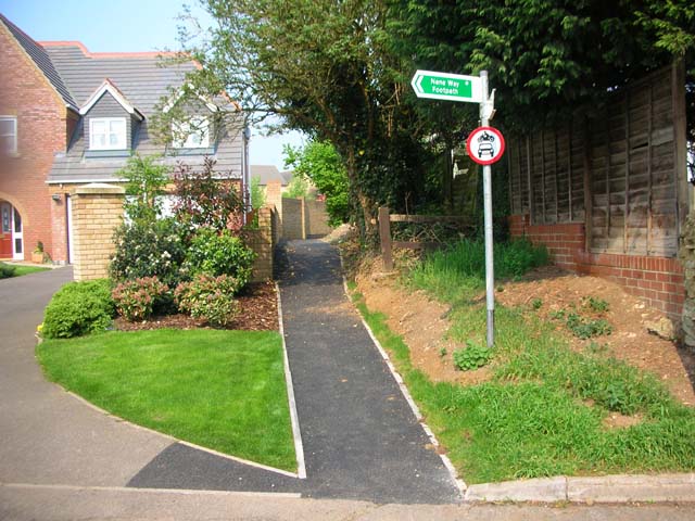
Image: © Will Lovell Taken: 9 May 2006
The footpath used to run along the edge of a field, but a new housing estate has sprung up, and the County Council Rights of Way department had the path tarmaced.
Images are licensed for reuse under creativecommons.org/licenses/by-sa/2.0
Image Location
Latitude
52.312562
Longitude
-0.596147