Old Kirk of Boyndie
Introduction
The photograph on this page of Old Kirk of Boyndie by Anne Burgess as part of the Geograph project.
The Geograph project started in 2005 with the aim of publishing, organising and preserving representative images for every square kilometre of Great Britain, Ireland and the Isle of Man.

There are currently over 7.5m images from over 14,400 individuals and you can help contribute to the project by visiting https://www.geograph.org.uk
Old Kirk of Boyndie
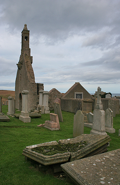
Image: © Anne Burgess Taken: 24 Feb 2011
The Victorian six-inch map makes it clear that the Old Kirk of Boyndie was dedicated to St Brandan. It is surrounded by an old graveyard.
Images are licensed for reuse under creativecommons.org/licenses/by-sa/2.0
Image Location
Latitude
57.668953
Longitude
-2.560542