Banna Park Bungalows, Nantyglo
Introduction
The photograph on this page of Banna Park Bungalows, Nantyglo by Jaggery as part of the Geograph project.
The Geograph project started in 2005 with the aim of publishing, organising and preserving representative images for every square kilometre of Great Britain, Ireland and the Isle of Man.

There are currently over 7.5m images from over 14,400 individuals and you can help contribute to the project by visiting https://www.geograph.org.uk
Banna Park Bungalows, Nantyglo
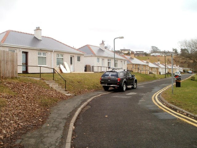
Image: © Jaggery Taken: 3 Feb 2011
A cul-de-sac connecting to Porters Road via Golf View. http://www.geograph.org.uk/photo/2281414 The bungalows face a recreation ground.
Images are licensed for reuse under creativecommons.org/licenses/by-sa/2.0
Image Location
Latitude
51.787329
Longitude
-3.16992