Nantyglo Wesley Methodist Church
Introduction
The photograph on this page of Nantyglo Wesley Methodist Church by Jaggery as part of the Geograph project.
The Geograph project started in 2005 with the aim of publishing, organising and preserving representative images for every square kilometre of Great Britain, Ireland and the Isle of Man.

There are currently over 7.5m images from over 14,400 individuals and you can help contribute to the project by visiting https://www.geograph.org.uk
Nantyglo Wesley Methodist Church
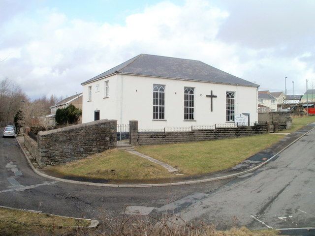
Image: © Jaggery Taken: 3 Feb 2011
Located on Chapel Road. A tablet on the side of the building shows ENGLISH WESLEYAN CHAPEL 1825. English was the language of the church services in 1825 when Welsh was the everyday language for most people in the area.
Images are licensed for reuse under creativecommons.org/licenses/by-sa/2.0
Image Location
Latitude
51.789084
Longitude
-3.174315