Whiteleaf Down on the North Downs Way
Introduction
The photograph on this page of Whiteleaf Down on the North Downs Way by Pip Rolls as part of the Geograph project.
The Geograph project started in 2005 with the aim of publishing, organising and preserving representative images for every square kilometre of Great Britain, Ireland and the Isle of Man.

There are currently over 7.5m images from over 14,400 individuals and you can help contribute to the project by visiting https://www.geograph.org.uk
Whiteleaf Down on the North Downs Way
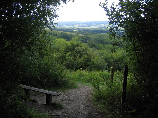
Image: © Pip Rolls Taken: 28 Aug 2006
Whiteleaf Down is on the steep scarp slope of the North Downs. The fields and woods of the Weald of Kent can be seen in the distance.
Images are licensed for reuse under creativecommons.org/licenses/by-sa/2.0
Image Location


Leaflet Map data © OpenStreetMap
Latitude
51.312552
Longitude
0.225449