Buildings on Ilford Hill, viewed from Ilford station
Introduction
The photograph on this page of Buildings on Ilford Hill, viewed from Ilford station by Robert Lamb as part of the Geograph project.
The Geograph project started in 2005 with the aim of publishing, organising and preserving representative images for every square kilometre of Great Britain, Ireland and the Isle of Man.

There are currently over 7.5m images from over 14,400 individuals and you can help contribute to the project by visiting https://www.geograph.org.uk
Buildings on Ilford Hill, viewed from Ilford station
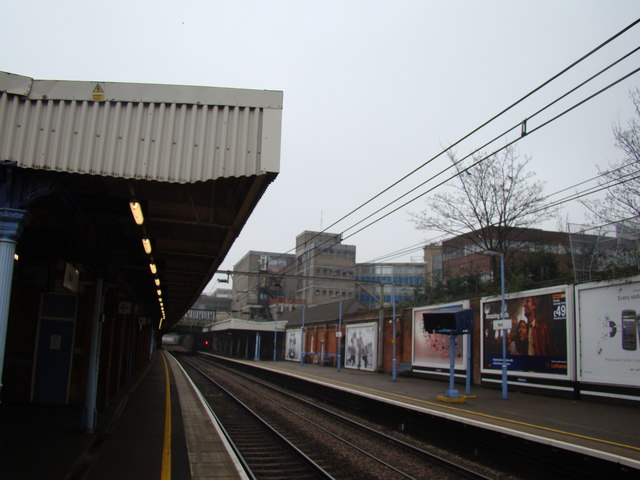
Image: © Robert Lamb Taken: 20 Feb 2011
Taken from Platform 2 of Ilford Station, this is a view of the buildings at the junction of Ilford Hill, Cranbrook Road and Chapel Road. Looking east-southeast.
Images are licensed for reuse under creativecommons.org/licenses/by-sa/2.0
Image Location
Latitude
51.55843
Longitude
0.067773