Oliver's Battery, Old Basing
Introduction
The photograph on this page of Oliver's Battery, Old Basing by Derek Harper as part of the Geograph project.
The Geograph project started in 2005 with the aim of publishing, organising and preserving representative images for every square kilometre of Great Britain, Ireland and the Isle of Man.

There are currently over 7.5m images from over 14,400 individuals and you can help contribute to the project by visiting https://www.geograph.org.uk
Oliver's Battery, Old Basing
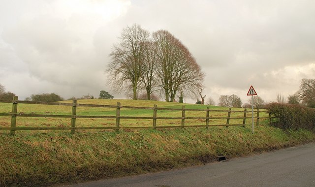
Image: © Derek Harper Taken: 14 Jan 2011
The clump of trees marks the position used by Cromwell during his siege of Basing House. This is classified as an Area of High Archaeological Importance (AHAI). Seen from the northern part of The Street near Paddockfields.
Images are licensed for reuse under creativecommons.org/licenses/by-sa/2.0
Image Location
Latitude
51.276751
Longitude
-1.045148