Footbridge at Ide
Introduction
The photograph on this page of Footbridge at Ide by Oliver Dixon as part of the Geograph project.
The Geograph project started in 2005 with the aim of publishing, organising and preserving representative images for every square kilometre of Great Britain, Ireland and the Isle of Man.

There are currently over 7.5m images from over 14,400 individuals and you can help contribute to the project by visiting https://www.geograph.org.uk
Footbridge at Ide
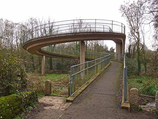
Image: © Oliver Dixon Taken: 20 Feb 2011
The village of Ide is cut off from the main built-up area of Exeter by the busy dual carriageway A30. However, a safe, quiet route into town has been provided for cyclists and pedestrians in the form of a footbridge, approached by spiral ramps, which spans both the A30 and the old road which runs alongside.
Images are licensed for reuse under creativecommons.org/licenses/by-sa/2.0
Image Location


Leaflet Map data © OpenStreetMap
Latitude
50.705541
Longitude
-3.556032