Redwood Avenue, Wollaton
Introduction
The photograph on this page of Redwood Avenue, Wollaton by Stephen McKay as part of the Geograph project.
The Geograph project started in 2005 with the aim of publishing, organising and preserving representative images for every square kilometre of Great Britain, Ireland and the Isle of Man.

There are currently over 7.5m images from over 14,400 individuals and you can help contribute to the project by visiting https://www.geograph.org.uk
Redwood Avenue, Wollaton
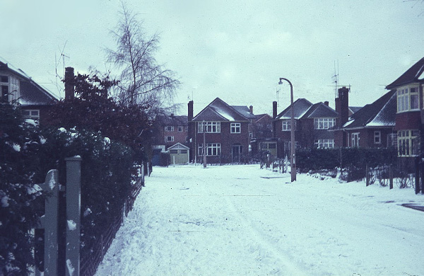
Image: © Stephen McKay Taken: Unknown
Seen here on a snowy winter's day at the beginning of 1968, the houses here date from the mid-1950s, forming part of what was originally called the Model Farm Estate (on whose land they were built).
Images are licensed for reuse under creativecommons.org/licenses/by-sa/2.0
Image Location
Latitude
52.947706
Longitude
-1.232615