Cubbington
Introduction
The photograph on this page of Cubbington by Nigel Mykura as part of the Geograph project.
The Geograph project started in 2005 with the aim of publishing, organising and preserving representative images for every square kilometre of Great Britain, Ireland and the Isle of Man.

There are currently over 7.5m images from over 14,400 individuals and you can help contribute to the project by visiting https://www.geograph.org.uk
Cubbington
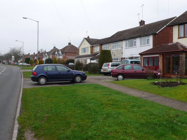
Image: © Nigel Mykura Taken: 19 Feb 2011
This is the Welsh Road at Cubbington on the outskirts of Leamington. Cubbington has some large modern areas which are part of Leamington. These modern houses are on the southern edge of the old village on Windmill Hill
Images are licensed for reuse under creativecommons.org/licenses/by-sa/2.0
Image Location
Latitude
52.309603
Longitude
-1.501846