Entering Penistone from Hartcliffe Road
Introduction
The photograph on this page of Entering Penistone from Hartcliffe Road by Jonathan Clitheroe as part of the Geograph project.
The Geograph project started in 2005 with the aim of publishing, organising and preserving representative images for every square kilometre of Great Britain, Ireland and the Isle of Man.

There are currently over 7.5m images from over 14,400 individuals and you can help contribute to the project by visiting https://www.geograph.org.uk
Entering Penistone from Hartcliffe Road
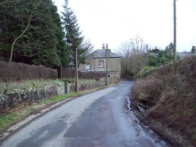
Image: © Jonathan Clitheroe Taken: 22 Feb 2011
At the bend in the road ahead Hartcliffe Road becomes Chapel Lane. The dwelling in the centre of shot is the Stables, dating from 1717 according to an inscription above the window. Note also the stone trough by the road on the right.
Images are licensed for reuse under creativecommons.org/licenses/by-sa/2.0
Image Location
Latitude
53.519067
Longitude
-1.635281