Former church near Dromore
Introduction
The photograph on this page of Former church near Dromore by Kenneth Allen as part of the Geograph project.
The Geograph project started in 2005 with the aim of publishing, organising and preserving representative images for every square kilometre of Great Britain, Ireland and the Isle of Man.

There are currently over 7.5m images from over 14,400 individuals and you can help contribute to the project by visiting https://www.geograph.org.uk
Former church near Dromore
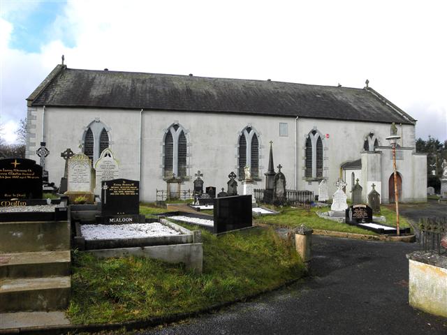
Image: © Kenneth Allen Taken: 21 Feb 2011
Built in 1917, see close-up of plaque here Image] It has been replaced by the new RC Church on the Omagh side of the town Image]
Images are licensed for reuse under creativecommons.org/licenses/by-sa/2.0
Image Location
Latitude
54.512442
Longitude
-7.46979