Bridge Close
Introduction
The photograph on this page of Bridge Close by Martin Addison as part of the Geograph project.
The Geograph project started in 2005 with the aim of publishing, organising and preserving representative images for every square kilometre of Great Britain, Ireland and the Isle of Man.

There are currently over 7.5m images from over 14,400 individuals and you can help contribute to the project by visiting https://www.geograph.org.uk
Bridge Close
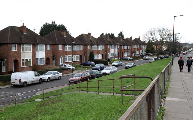
Image: © Martin Addison Taken: 12 Feb 2011
A cul-de-sac off Carterhatch Lane which was probably built in the 1950's and occupies the space between Carterhatch Lane, the Southbury Loop railway line and Central Avenue on the pre-existing estate behind.
Images are licensed for reuse under creativecommons.org/licenses/by-sa/2.0
Image Location
Latitude
51.659475
Longitude
-0.051252