East Devon : The A35 in Fog
Introduction
The photograph on this page of East Devon : The A35 in Fog by Lewis Clarke as part of the Geograph project.
The Geograph project started in 2005 with the aim of publishing, organising and preserving representative images for every square kilometre of Great Britain, Ireland and the Isle of Man.

There are currently over 7.5m images from over 14,400 individuals and you can help contribute to the project by visiting https://www.geograph.org.uk
East Devon : The A35 in Fog
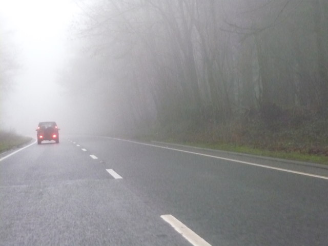
Image: © Lewis Clarke Taken: 21 Feb 2011
The A35 near the Devon Dorset border. The poor conditions continue into the next county.
Images are licensed for reuse under creativecommons.org/licenses/by-sa/2.0
Image Location
Latitude
50.761571
Longitude
-2.965353