Bench mark on Chester Road bridge
Introduction
The photograph on this page of Bench mark on Chester Road bridge by John S Turner as part of the Geograph project.
The Geograph project started in 2005 with the aim of publishing, organising and preserving representative images for every square kilometre of Great Britain, Ireland and the Isle of Man.

There are currently over 7.5m images from over 14,400 individuals and you can help contribute to the project by visiting https://www.geograph.org.uk
Bench mark on Chester Road bridge
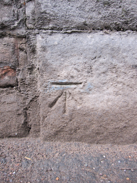
Image: © John S Turner Taken: 14 Feb 2011
This bench mark is on the north west side of the Chester Road railway bridge abutment. It seems to be a modern mark first shown clearly on the 1968 O.S. map, and possibly on the smaller scale 1954 map. See also Image An earlier mark was recorded on the south east side of the bridge, but that now seems to be lost.
Images are licensed for reuse under creativecommons.org/licenses/by-sa/2.0
Image Location
Latitude
53.289194
Longitude
-3.061435