Ride intersection, King's Wood
Introduction
The photograph on this page of Ride intersection, King's Wood by Robin Webster as part of the Geograph project.
The Geograph project started in 2005 with the aim of publishing, organising and preserving representative images for every square kilometre of Great Britain, Ireland and the Isle of Man.

There are currently over 7.5m images from over 14,400 individuals and you can help contribute to the project by visiting https://www.geograph.org.uk
Ride intersection, King's Wood
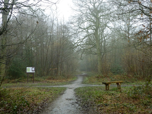
Image: © Robin Webster Taken: 20 Feb 2011
There is a grid of rides in this public open space woodland extending to 60 ha. The board shows a map of the wood but does not indicate "You are here" in the usual way.
Images are licensed for reuse under creativecommons.org/licenses/by-sa/2.0
Image Location
Latitude
51.326941
Longitude
-0.062942