Barton lane junction
Introduction
The photograph on this page of Barton lane junction by Anthony Vosper as part of the Geograph project.
The Geograph project started in 2005 with the aim of publishing, organising and preserving representative images for every square kilometre of Great Britain, Ireland and the Isle of Man.

There are currently over 7.5m images from over 14,400 individuals and you can help contribute to the project by visiting https://www.geograph.org.uk
Barton lane junction
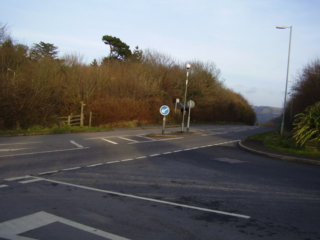
Image: © Anthony Vosper Taken: 20 Feb 2011
Situated on the A399, the coast path is joined here by the footpath by the bus shelter.
Images are licensed for reuse under creativecommons.org/licenses/by-sa/2.0
Image Location
Latitude
51.206153
Longitude
-4.053287