Cripplestyle, former chapel
Introduction
The photograph on this page of Cripplestyle, former chapel by Mike Faherty as part of the Geograph project.
The Geograph project started in 2005 with the aim of publishing, organising and preserving representative images for every square kilometre of Great Britain, Ireland and the Isle of Man.

There are currently over 7.5m images from over 14,400 individuals and you can help contribute to the project by visiting https://www.geograph.org.uk
Cripplestyle, former chapel
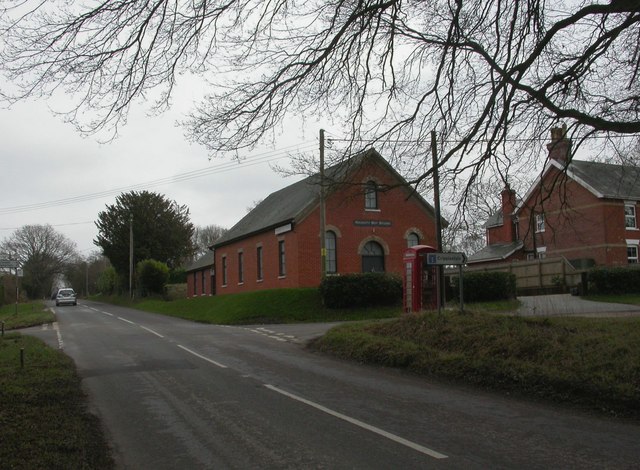
Image: © Mike Faherty Taken: 20 Feb 2011
On Cranborne Road (B3078), with a datestone of 1888, shown on old OS maps as Congregational Chapel; now calling itself "Naughty Boy Studio". http://www.naughtyboystudio.com/Contact_About.html
Images are licensed for reuse under creativecommons.org/licenses/by-sa/2.0
Image Location
Latitude
50.910816
Longitude
-1.871084