Varndean School Playing Fields
Introduction
The photograph on this page of Varndean School Playing Fields by Paul Gillett as part of the Geograph project.
The Geograph project started in 2005 with the aim of publishing, organising and preserving representative images for every square kilometre of Great Britain, Ireland and the Isle of Man.

There are currently over 7.5m images from over 14,400 individuals and you can help contribute to the project by visiting https://www.geograph.org.uk
Varndean School Playing Fields
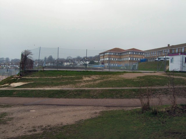
Image: © Paul Gillett Taken: 20 Feb 2011
viewed from Balfour Road Historically the current Varndean School building was the Varndean Girls School and the current Varndean College building was Varndean Boys school. The Boys School became a sixth form college in 1975, and in 1979 boys were admitted to the girls school for the first time and it became a mixed high school for 11-16 year olds. In 1998 Varndean School became the first school in the city to be designated a specialist school. The school gained a second specialism in music in 2006 and a vocational specialism in 2007 http://en.wikipedia.org/wiki/Varndean_School
Images are licensed for reuse under creativecommons.org/licenses/by-sa/2.0
Image Location
Latitude
50.849617
Longitude
-0.136853