Road name and pre-Worboys sign
Introduction
The photograph on this page of Road name and pre-Worboys sign by David Howard as part of the Geograph project.
The Geograph project started in 2005 with the aim of publishing, organising and preserving representative images for every square kilometre of Great Britain, Ireland and the Isle of Man.

There are currently over 7.5m images from over 14,400 individuals and you can help contribute to the project by visiting https://www.geograph.org.uk
Road name and pre-Worboys sign
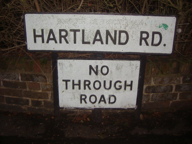
Image: © David Howard Taken: 6 Dec 2010
The old borough of Twickenham has deliberately been painted out on all the similar road name signs around the area
Images are licensed for reuse under creativecommons.org/licenses/by-sa/2.0
Image Location
Latitude
51.432086
Longitude
-0.365215