Red corrugated building, Cilfrew
Introduction
The photograph on this page of Red corrugated building, Cilfrew by Jaggery as part of the Geograph project.
The Geograph project started in 2005 with the aim of publishing, organising and preserving representative images for every square kilometre of Great Britain, Ireland and the Isle of Man.

There are currently over 7.5m images from over 14,400 individuals and you can help contribute to the project by visiting https://www.geograph.org.uk
Red corrugated building, Cilfrew
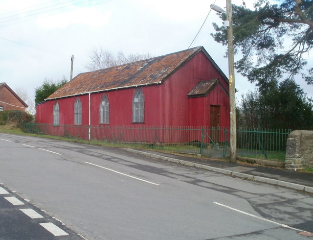
Image: © Jaggery Taken: 19 Feb 2011
There were no signs on the site to show the current use, if any, of this distinctive building on the east side of Main Road, Cilfrew, facing the northern edge of March Hywel. An old map shows 'Sunday School'. Pisgah Chapel http://www.geograph.org.uk/photo/2276925 is about 60 metres away on the other side of the road.
Images are licensed for reuse under creativecommons.org/licenses/by-sa/2.0
Image Location
Latitude
51.689761
Longitude
-3.779374