Craigton farm steading, Monikie
Introduction
The photograph on this page of Craigton farm steading, Monikie by Kay Williams as part of the Geograph project.
The Geograph project started in 2005 with the aim of publishing, organising and preserving representative images for every square kilometre of Great Britain, Ireland and the Isle of Man.

There are currently over 7.5m images from over 14,400 individuals and you can help contribute to the project by visiting https://www.geograph.org.uk
Craigton farm steading, Monikie
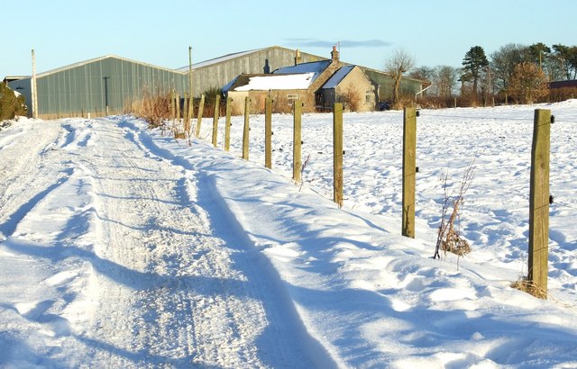
Image: © Kay Williams Taken: 25 Dec 2010
Farm buildings and cottage pictured December 25th 2010. Demolished before 19th February 2011.
Images are licensed for reuse under creativecommons.org/licenses/by-sa/2.0
Image Location
Latitude
56.532651
Longitude
-2.793367