The Great Stour
Introduction
The photograph on this page of The Great Stour by Oast House Archive as part of the Geograph project.
The Geograph project started in 2005 with the aim of publishing, organising and preserving representative images for every square kilometre of Great Britain, Ireland and the Isle of Man.

There are currently over 7.5m images from over 14,400 individuals and you can help contribute to the project by visiting https://www.geograph.org.uk
The Great Stour
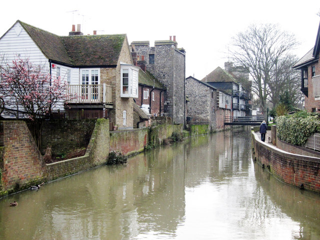
Image: © Oast House Archive Taken: 12 Feb 2011
River running between buildings on Pound Lane seen to left and North Lane to right. A footbridge linking Pound Lane and car park off North Lane can be seen ahead.
Images are licensed for reuse under creativecommons.org/licenses/by-sa/2.0
Image Location
Latitude
51.282461
Longitude
1.077305