Wind Turbines on Hill of Firfolds
Introduction
The photograph on this page of Wind Turbines on Hill of Firfolds by Anne Burgess as part of the Geograph project.
The Geograph project started in 2005 with the aim of publishing, organising and preserving representative images for every square kilometre of Great Britain, Ireland and the Isle of Man.

There are currently over 7.5m images from over 14,400 individuals and you can help contribute to the project by visiting https://www.geograph.org.uk
Wind Turbines on Hill of Firfolds
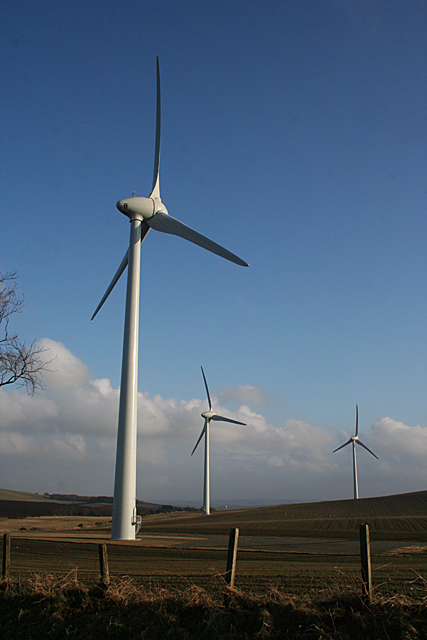
Image: © Anne Burgess Taken: 17 Feb 2011
These turbines have not yet made it on to the 1:50,000 maps but they are shown on the online 1:25,000. Hill of Firfolds rises to the right from here.
Images are licensed for reuse under creativecommons.org/licenses/by-sa/2.0
Image Location
Latitude
57.62665
Longitude
-2.57948