Bridleway which is used by the Staunton Way above Downley Hanger
Introduction
The photograph on this page of Bridleway which is used by the Staunton Way above Downley Hanger by Shazz as part of the Geograph project.
The Geograph project started in 2005 with the aim of publishing, organising and preserving representative images for every square kilometre of Great Britain, Ireland and the Isle of Man.

There are currently over 7.5m images from over 14,400 individuals and you can help contribute to the project by visiting https://www.geograph.org.uk
Bridleway which is used by the Staunton Way above Downley Hanger
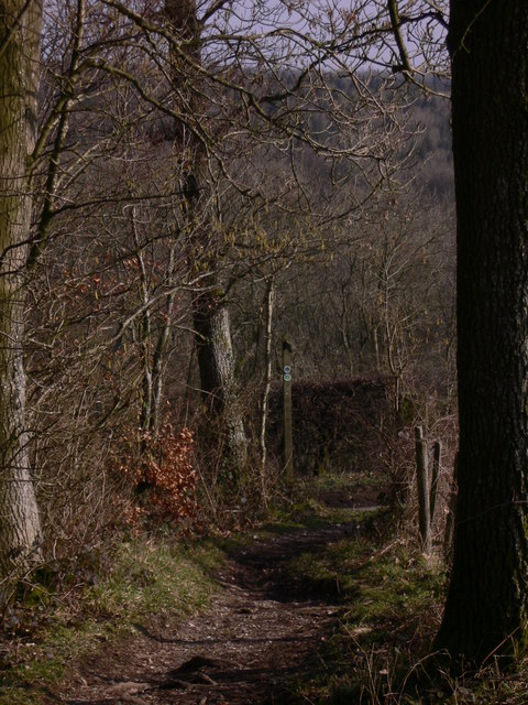
Image: © Shazz Taken: 17 Feb 2011
Although the Staunton Way is a circular walk of 21 miles, formed by a combination of routes connecting Queen Elizabeth Country Park with Staunton Country Park, it is not shown as such in this grid square on Get-a-map.
Images are licensed for reuse under creativecommons.org/licenses/by-sa/2.0
Image Location


Leaflet Map data © OpenStreetMap
Latitude
50.958897
Longitude
-0.933638