Blackshank
Introduction
The photograph on this page of Blackshank by Anne Burgess as part of the Geograph project.
The Geograph project started in 2005 with the aim of publishing, organising and preserving representative images for every square kilometre of Great Britain, Ireland and the Isle of Man.

There are currently over 7.5m images from over 14,400 individuals and you can help contribute to the project by visiting https://www.geograph.org.uk
Blackshank
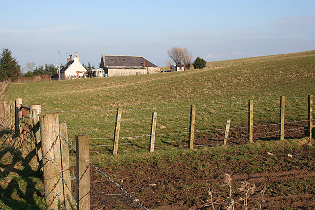
Image: © Anne Burgess Taken: 17 Feb 2011
The cottage at Blackshank is named on the 1:25,000 but not the 1:50,000 map. It stands a little way off the public road from which this image was taken.
Images are licensed for reuse under creativecommons.org/licenses/by-sa/2.0
Image Location
Latitude
57.631735
Longitude
-2.606188