Gate near Culbirnie
Introduction
The photograph on this page of Gate near Culbirnie by Anne Burgess as part of the Geograph project.
The Geograph project started in 2005 with the aim of publishing, organising and preserving representative images for every square kilometre of Great Britain, Ireland and the Isle of Man.

There are currently over 7.5m images from over 14,400 individuals and you can help contribute to the project by visiting https://www.geograph.org.uk
Gate near Culbirnie
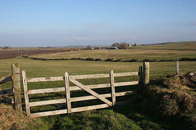
Image: © Anne Burgess Taken: 17 Feb 2011
This gate is just by the end of the road through Backhill of Culbirnie. Though the maps show this road as a public road, I was told by the farmer, rather surprised by my arrival, that it is private. This view looks towards Hilton, in the next square, but all the foreground fields are in this square.
Images are licensed for reuse under creativecommons.org/licenses/by-sa/2.0
Image Location
Latitude
57.633347
Longitude
-2.607219