Varndean Rd
Introduction
The photograph on this page of Varndean Rd by Nigel Mykura as part of the Geograph project.
The Geograph project started in 2005 with the aim of publishing, organising and preserving representative images for every square kilometre of Great Britain, Ireland and the Isle of Man.

There are currently over 7.5m images from over 14,400 individuals and you can help contribute to the project by visiting https://www.geograph.org.uk
Varndean Rd
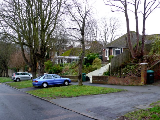
Image: © Nigel Mykura Taken: 13 Feb 2011
View west along Varndean Rd. It runs from Surrenden Rd to the Lewes Rd in the Withdean area of Brighton. This is close to the junction with Withdean Crescent.
Images are licensed for reuse under creativecommons.org/licenses/by-sa/2.0
Image Location
Latitude
50.84908
Longitude
-0.148296