Grade II* listing building, Newbridge
Introduction
The photograph on this page of Grade II* listing building, Newbridge by Jaggery as part of the Geograph project.
The Geograph project started in 2005 with the aim of publishing, organising and preserving representative images for every square kilometre of Great Britain, Ireland and the Isle of Man.

There are currently over 7.5m images from over 14,400 individuals and you can help contribute to the project by visiting https://www.geograph.org.uk
Grade II* listing building, Newbridge
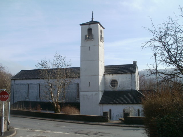
Image: © Jaggery Taken: 17 Feb 2011
Viewed across Park Road. Shown on maps as Our Lady of Peace Roman Catholic Church, there were no signs at the site to confirm that this is still the case. What is certain is that the Italianate building, dating from the 1930s, has been Grade II* listed since 1999. The attached presbytery (priests' house) http://www.geograph.org.uk/photo/2273746 is included in the listing.
Images are licensed for reuse under creativecommons.org/licenses/by-sa/2.0
Image Location
Latitude
51.671595
Longitude
-3.143797