River Crouch valley
Introduction
The photograph on this page of River Crouch valley by Nigel Cox as part of the Geograph project.
The Geograph project started in 2005 with the aim of publishing, organising and preserving representative images for every square kilometre of Great Britain, Ireland and the Isle of Man.

There are currently over 7.5m images from over 14,400 individuals and you can help contribute to the project by visiting https://www.geograph.org.uk
River Crouch valley
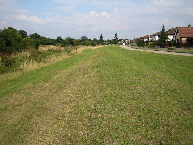
Image: © Nigel Cox Taken: 15 Aug 2006
The River Crouch flows downstream in the rough grass to the left. Riverside Walk is the road to the right. A comparison between the 1940s Ordnance Survey map and the current map shows how much the former meanders in the river downstream of here have been removed to straighten the channel.
Images are licensed for reuse under creativecommons.org/licenses/by-sa/2.0
Image Location
Latitude
51.615295
Longitude
0.508915