Bourne Hill
Introduction
The photograph on this page of Bourne Hill by Martin Addison as part of the Geograph project.
The Geograph project started in 2005 with the aim of publishing, organising and preserving representative images for every square kilometre of Great Britain, Ireland and the Isle of Man.

There are currently over 7.5m images from over 14,400 individuals and you can help contribute to the project by visiting https://www.geograph.org.uk
Bourne Hill
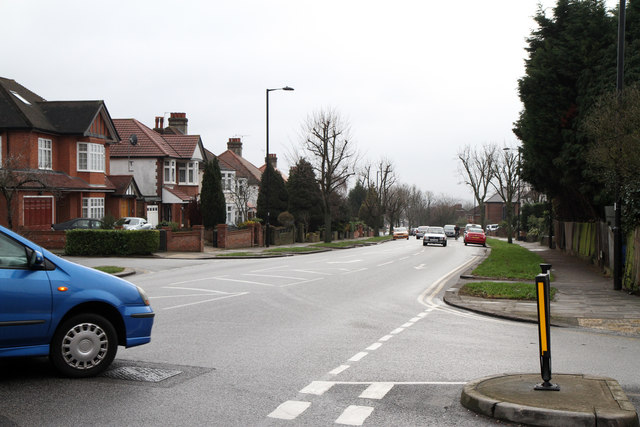
Image: © Martin Addison Taken: 12 Feb 2011
The A111 viewed from the junction with Amberley Road. This A Road connects the North Circular Road at Great Cambridge Junction with Potters Bar.
Images are licensed for reuse under creativecommons.org/licenses/by-sa/2.0
Image Location
Latitude
51.627477
Longitude
-0.112729