Footpath at Ollerton Hills
Introduction
The photograph on this page of Footpath at Ollerton Hills by Trevor Rickard as part of the Geograph project.
The Geograph project started in 2005 with the aim of publishing, organising and preserving representative images for every square kilometre of Great Britain, Ireland and the Isle of Man.

There are currently over 7.5m images from over 14,400 individuals and you can help contribute to the project by visiting https://www.geograph.org.uk
Footpath at Ollerton Hills
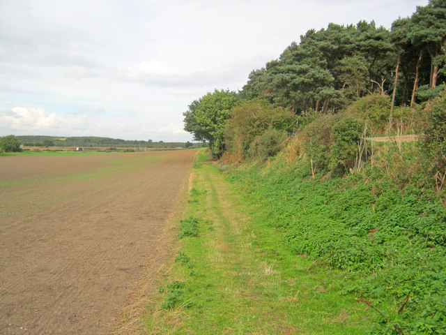
Image: © Trevor Rickard Taken: 23 Sep 2010
Looking north along the path which runs along the edge of the wood to join the A614 coming in from the left. Sherwood Heath in the distance.
Images are licensed for reuse under creativecommons.org/licenses/by-sa/2.0
Image Location
Latitude
53.187868
Longitude
-1.030935