The Delf near Temptye
Introduction
The photograph on this page of The Delf near Temptye by David Anstiss as part of the Geograph project.
The Geograph project started in 2005 with the aim of publishing, organising and preserving representative images for every square kilometre of Great Britain, Ireland and the Isle of Man.

There are currently over 7.5m images from over 14,400 individuals and you can help contribute to the project by visiting https://www.geograph.org.uk
The Delf near Temptye
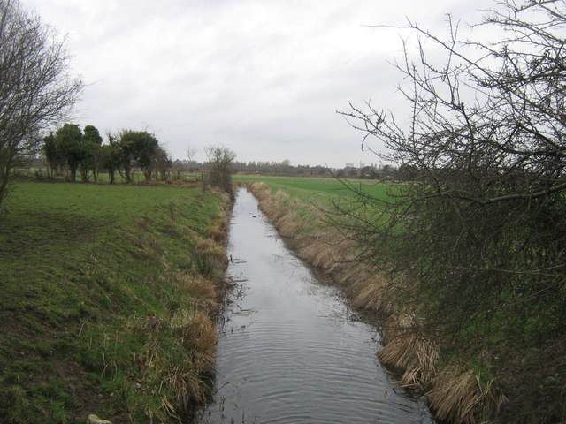
Image: © David Anstiss Taken: 13 Feb 2011
This drainage channel leads from Goretop Lane towards Sandwich. As seen from Brewer's Bridge on Goretop Lane.
Images are licensed for reuse under creativecommons.org/licenses/by-sa/2.0
Image Location
Latitude
51.261336
Longitude
1.358032