House by A379
Introduction
The photograph on this page of House by A379 by David Smith as part of the Geograph project.
The Geograph project started in 2005 with the aim of publishing, organising and preserving representative images for every square kilometre of Great Britain, Ireland and the Isle of Man.

There are currently over 7.5m images from over 14,400 individuals and you can help contribute to the project by visiting https://www.geograph.org.uk
House by A379
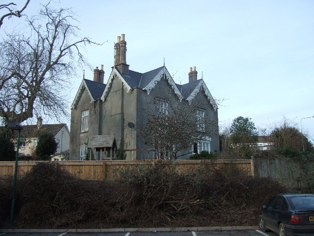
Image: © David Smith Taken: 12 Feb 2011
This house has magnificent barge-boards, with carved foliage on the gables to the right.
Images are licensed for reuse under creativecommons.org/licenses/by-sa/2.0
Image Location
Latitude
50.284463
Longitude
-3.781166